Earth’s climate displays a remarkable range of precipitation, from locations drenched in perpetual rain to expanses enduring decades-long droughts. Understanding these extremes is crucial not only for scientific inquiry but also for resource management, infrastructure planning, and predicting the impacts of climate change. This exploration delves into the geographical distribution of the wettest and driest places on our planet, examining the meteorological and geographical factors responsible for their contrasting climates.
Determining the absolute “wettest” location requires careful consideration of measurement methods and data collection periods. While annual rainfall totals provide a valuable overview, daily or even hourly intensities can significantly influence the overall picture. Mawsynram, located in the state of Meghalaya, India, frequently claims the title. Nestled on the southern slopes of the Khasi Hills, it benefits from the orographic effect, where moist monsoon winds are forced to rise, cool, and condense, releasing copious amounts of rain. Annual rainfall averages exceeding 11,000 millimeters are commonly reported, although precise figures remain subject to ongoing measurement and analysis. Similarly, nearby Cherrapunji experiences exceptionally high rainfall, further emphasizing the region’s susceptibility to intense monsoon activity. The steep slopes and dense vegetation in these areas contribute to localized rainfall intensification.
However, challenging Mawsynram’s claim are locations in Colombia, particularly those along the Pacific coast. Lloro, for instance, boasts exceptionally high rainfall, though precise long-term data may be limited. The influence of the Intertropical Convergence Zone (ITCZ), a region of low atmospheric pressure where trade winds converge, is a significant factor in the high rainfall experienced along these Colombian coastal regions. The ITCZ’s latitudinal migration throughout the year significantly influences the rainfall patterns, leading to consistently high precipitation totals. Thus, the “wettest place” title often remains a subject of ongoing debate and refinement as new data emerge and methodologies improve.
Conversely, identifying the driest locations presents a different set of challenges. Aridity is often defined not only by low rainfall totals but also by high evaporation rates. The Atacama Desert in northern Chile, situated in a rain shadow and influenced by cold ocean currents, is frequently cited as one of the driest places on Earth. Certain areas within the Atacama have reportedly gone centuries without measurable rainfall. The unique combination of geographic features and atmospheric conditions creates a hyper-arid environment, supporting only highly specialized flora and fauna adapted to extreme water scarcity. The cold Humboldt Current along the coast significantly inhibits atmospheric moisture, creating a stable, dry air mass that inhibits precipitation. Furthermore, the Andean mountain range forms a formidable rain shadow, blocking moisture-laden winds from the Amazon basin.
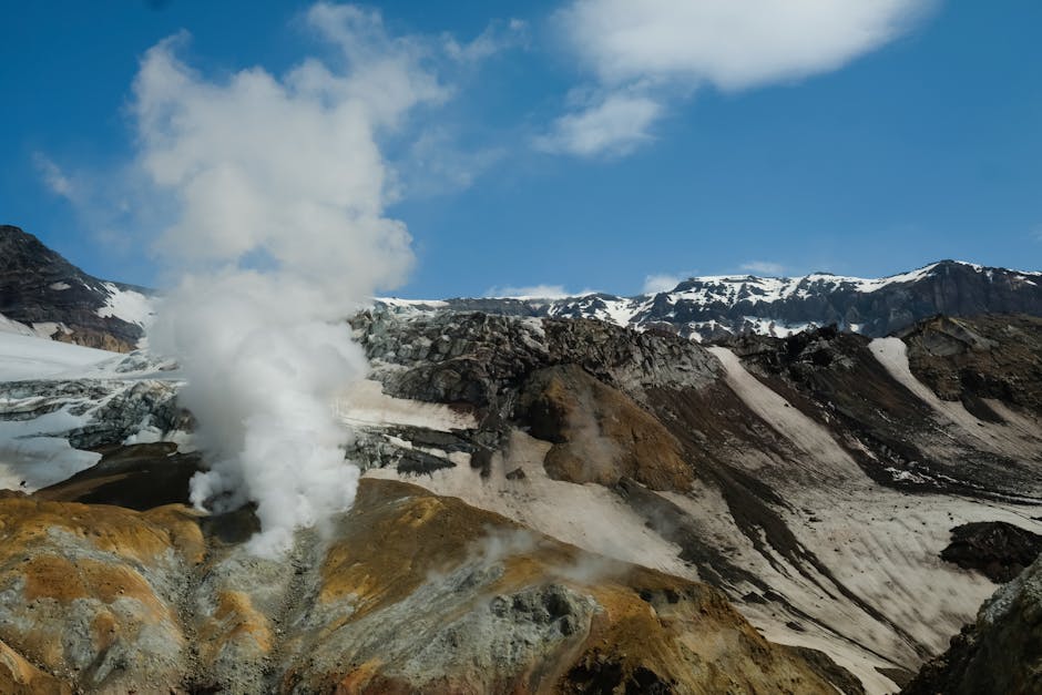
Another contender for the “driest” title is the McMurdo Dry Valleys in Antarctica. While not strictly a desert in the traditional sense, these valleys are exceptionally arid due to katabatic winds strong, downslope winds that sweep away any moisture. The absence of significant precipitation combined with extremely low temperatures and high winds results in a hyper-arid environment akin to that of the Atacama. These valleys are virtually ice-free, revealing ancient lake beds and other geological features normally hidden beneath glaciers and ice sheets. Their unique ecological characteristics, including the presence of extremophile microorganisms, offer valuable insights into life’s ability to thrive under the most challenging conditions.
The contrasting climates of these exceptionally wet and dry places highlight the complex interplay of meteorological factors, geographical features, and ocean currents. Elevation, proximity to large water bodies, atmospheric pressure systems, and the presence of mountain ranges all significantly influence precipitation patterns. The orographic effect, whereby air is forced to rise over mountains, resulting in cooling and condensation, is a crucial factor in generating high rainfall in regions like Meghalaya. Conversely, rain shadows, where mountains block moisture-laden winds, create arid conditions. Ocean currents also play a vital role, with cold currents inhibiting precipitation and warm currents often contributing to higher rainfall.
The ongoing effects of climate change add another layer of complexity to the study of these extreme environments. Changes in global precipitation patterns, including altered monsoon cycles and shifts in atmospheric circulation, are expected to influence both the wettest and driest regions. Increasing temperatures can lead to higher evaporation rates in already arid areas, exacerbating drought conditions. Conversely, changes in atmospheric moisture content could potentially alter rainfall patterns in traditionally wet regions, although the precise nature and extent of these changes remain subject to ongoing research and modeling.
In conclusion, pinning down the absolute “wettest” and “driest” locations necessitates careful consideration of various factors and data collection methodologies. While Mawsynram and the Atacama Desert consistently appear at the top of many lists, locations such as Lloro and the McMurdo Dry Valleys present compelling counterarguments. Understanding the geographic and meteorological factors responsible for these extreme climates is fundamental to comprehending Earth’s complex climate system and predicting the potential impacts of future climate change. Further research and data collection are vital for refining our understanding of these fascinating and ecologically significant environments.
