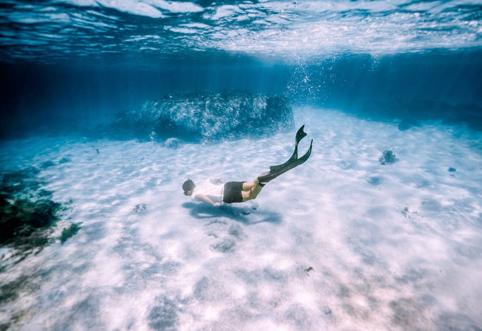
The ocean’s depths conceal a world of wonder, a vast and intricate landscape that shapes marine life and influences global climate. Understanding this hidden realm requires detailed maps of the ocean floor, a task that has evolved dramatically over time. From rudimentary sonar to sophisticated satellite imagery, a range of techniques provide insights into the topography, composition, and biological activity of these underwater terrains. This article explores the diverse methods utilized for mapping ocean floors, emphasizing their applications in marine biology and oceanography.
Early Efforts and the Rise of Sonar
Initial attempts at charting the seabed were rudimentary, often relying on visual observations from ships or simple soundings taken with weighted lines. These methods provided limited and imprecise data, hindering a comprehensive understanding of the ocean floor’s intricacies. The development of sonar marked a significant leap forward. Sonar, or Sound Navigation and Ranging, leverages sound waves to “see” beneath the surface. Early sonar systems, employing echo sounding, measured the time it took for a sound pulse to travel to the seafloor and back, enabling depth measurements along a vessel’s track. This technology, while essential for basic bathymetry, offered limited information about the seafloor’s texture and characteristics.
Advanced Sonar Techniques: Unveiling the Seafloor’s Secrets
Contemporary sonar methods have advanced considerably, yielding much richer data than their predecessors. Multibeam sonar, for instance, utilizes multiple sound beams to simultaneously create a detailed image of a swath of seafloor. This allows for the creation of high-resolution bathymetric maps covering extensive areas quickly, providing essential information for navigation, resource exploration, and environmental studies. Multibeam technology is crucial for characterizing seamounts, trenches, and other geological features. Side-scan sonar, another powerful tool, employs sound waves directed across the path of a ship to produce images of the seafloor’s surface texture and features. This data is valuable for identifying areas of biological activity, shipwrecks, or detecting changes in sediment distribution. Combining multibeam and side-scan data provides a comprehensive profile of the seafloor, including both depth and surface characteristics.
Satellite Methods: Looking Down from Above
While sonar methods are primarily focused on the seafloor directly below, satellite techniques offer a wider perspective, valuable for large-scale studies and mapping extensive areas. Satellite altimetry, for instance, measures subtle variations in sea surface height. These variations can be correlated with seafloor features, providing indirect insights into the topography and contributing to a holistic understanding of the ocean’s topography and global circulation patterns. Furthermore, satellite imagery using radar and other sensors, can provide information about seafloor features in coastal areas and shallower waters. Though less precise than sonar for very detailed charting, satellite-derived maps are indispensable for monitoring large-scale features such as ocean currents, sea-level changes, and seafloor spreading.
Submersible Vehicles: Exploring the Deepest Depths
Beyond sonar and satellite imagery, submersible vehicles play a critical role in exploring and mapping the ocean’s deepest recesses. Autonomous underwater vehicles (AUVs) and remotely operated vehicles (ROVs) are equipped with advanced sensors and cameras, allowing scientists to gather high-resolution images and data from the seabed. These tools are capable of mapping geological structures, collecting samples, and even performing targeted observations of marine life within specific locations. AUVs and ROVs, with their ability to operate at great depths and for extended periods, extend the reach of human exploration and enhance our knowledge of the ocean’s deep-sea habitats.
Geographic Information Systems (GIS) and Data Integration: Bridging the Gap
The sheer volume of data generated from these various mapping methods necessitates sophisticated tools for processing, analysis, and integration. Geographic Information Systems (GIS) provide a platform for managing, analyzing, and visualizing geospatial data. By combining data from different sources, including sonar surveys, satellite imagery, and geological models, GIS allows researchers to create comprehensive and integrated maps of the ocean floor. This integrated approach helps marine biologists and oceanographers understand the complex interactions between geology, ocean currents, and marine life in a specific region, leading to improved environmental monitoring and conservation efforts.
Environmental Impacts and the Future of Mapping
The methods used to map the ocean floor are not without environmental impact. Ships, for example, can disturb marine life during surveys, and sonar use can potentially affect marine mammals and other organisms. Thus, responsible practices in the use of these mapping technologies are crucial. The future of ocean floor mapping lies in further development and integration of existing technologies. Developing more precise and efficient sonar systems, advancing satellite-based measurements, and enhancing the capabilities of remotely operated vehicles are all crucial in refining mapping efforts. Furthermore, integrating environmental data, such as temperature and salinity profiles, into these maps will provide even more comprehensive insights into the complex interplay of physical and biological processes within the ocean.
Conclusion: Unlocking the Mysteries of the Deep
Mapping the ocean floor is a dynamic process, a testament to ongoing advancements in technology and scientific exploration. Employing a combination of sonar, satellite imagery, and submersible vehicles, along with integrated data management using GIS, gives researchers a comprehensive picture of the ocean floor’s intricate features and the complex processes occurring beneath the waves. These advancements empower marine biologists and oceanographers to better understand, protect, and utilize this vital part of our planet, enriching our knowledge of the profound beauty and biological complexity of the underwater world.
