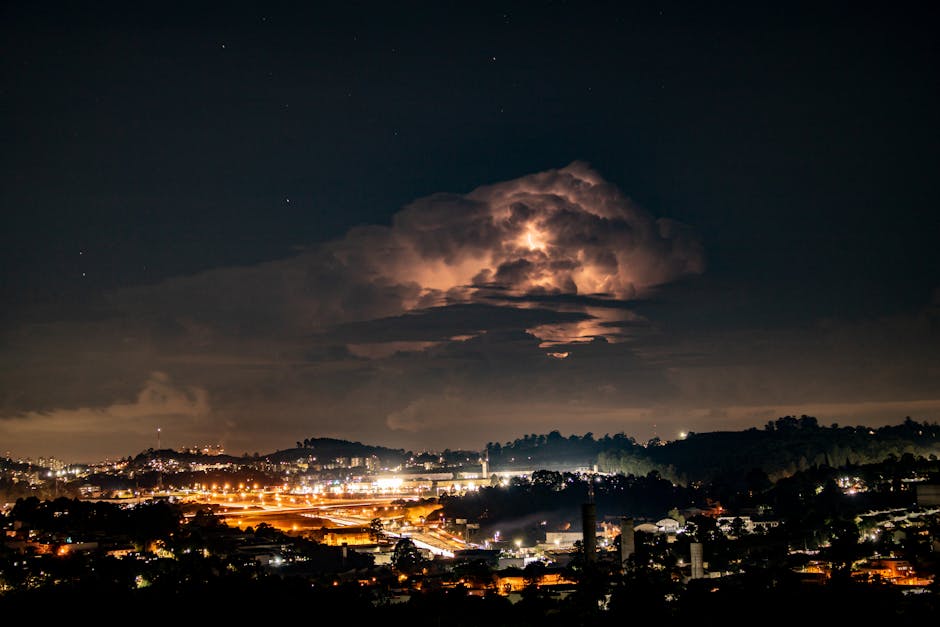
The interplay of geography, topography, and human activity paints a multifaceted picture of weather across the globe. While a general understanding of regional climates exists, a crucial aspect often overlooked is the distinctive weather patterns unique to individual cities. This article delves into the nuanced ways that different cities experience variations in weather, exploring the urban heat island effect, the influence of altitude and surrounding landscapes, and the role of urbanisation on precipitation.
A foundational concept in understanding urban weather differences is the urban heat island effect. This phenomenon describes how cities are typically warmer than the surrounding rural areas. Factors driving this effect include the substantial amount of heat-absorbing surfaces like concrete and asphalt, reduced vegetation cover, and energy released from human activities. Buildings and paved surfaces absorb solar radiation during the day and gradually release this heat into the atmosphere during the night. Consequently, urban areas tend to retain heat, contributing to higher temperatures, especially during hotter seasons. This temperature disparity can be remarkably significant, often exceeding several degrees Celsius in large metropolitan areas.
Beyond the general heat difference, specific topographic features profoundly shape a city’s climate. Cities nestled in valleys, for instance, may experience different wind patterns and temperature inversions than those situated on flat plains. Mountainous regions, with their diverse elevation gradients, present a spectrum of weather experiences across a city. Mountain ranges can block or channel winds, directly influencing precipitation patterns and temperature variations. Cities near large bodies of water also display unique characteristics. The moderating influence of water moderates temperature fluctuations, leading to more stable climates compared to inland cities. Coastal cities frequently exhibit milder winters and cooler summers, while inland cities experience greater temperature extremes.
The effect of the surrounding landscape extends beyond topography. A city’s position relative to vegetation plays a crucial role in influencing rainfall patterns. Extensive tree cover can act as a natural barrier, altering wind patterns and potentially increasing precipitation in specific localities. The presence of forested areas significantly impacts evapotranspiration rates, which, in turn, affects humidity levels. These factors, collectively, create microclimates within a city, leading to variations in rainfall frequency and intensity across different urban districts.
Urbanisation itself contributes significantly to the alteration of natural weather processes. The construction of buildings, roads, and other infrastructure modifies surface characteristics, impacting heat absorption, airflow, and precipitation. Densely populated areas can generate substantial amounts of pollutants, influencing air quality and potentially affecting temperature and humidity. Moreover, the increased presence of human activities can influence regional weather patterns through heat release and atmospheric interactions. For example, increased energy consumption can release significant amounts of heat into the atmosphere.
Consider the case of Chicago versus Denver. Chicago, a large city situated near a large lake, experiences a noticeably more moderate climate compared to Denver, a city situated in a high-altitude valley. The lake effect moderates temperature extremes and significantly affects precipitation patterns, leading to greater humidity and snowfall. Conversely, Denver’s high altitude leads to cooler temperatures and reduced precipitation, with a significantly different precipitation pattern and temperature range compared to Chicago.
Furthermore, studying urban microclimates provides crucial insights into urban planning. Understanding how different city layouts and features affect temperature and precipitation can help urban planners design more sustainable and resilient communities. Green spaces, for example, can mitigate the urban heat island effect by providing shade and increasing evapotranspiration. Strategically placed buildings can also reduce the impact of wind and solar radiation.
Moreover, the variations in weather patterns across cities significantly impact human health and well-being. Extreme temperatures, for example, can cause heatstroke and other heat-related illnesses, while poor air quality can trigger respiratory problems. Understanding these variations and their correlations with specific urban characteristics is vital for developing effective public health strategies.
Ultimately, examining the weather experiences of different cities requires a nuanced understanding of the interplay between geographic factors, human activities, and urban design. The urban heat island effect, topographical features, and the impact of urbanisation all contribute to the creation of unique microclimates. This understanding is pivotal for better urban planning, public health initiatives, and a more comprehensive appreciation of the diversity within our global weather patterns. Cities, despite their similarities in functioning as hubs of activity, are not uniform entities, and their weather experiences reflect this inherent diversity.
