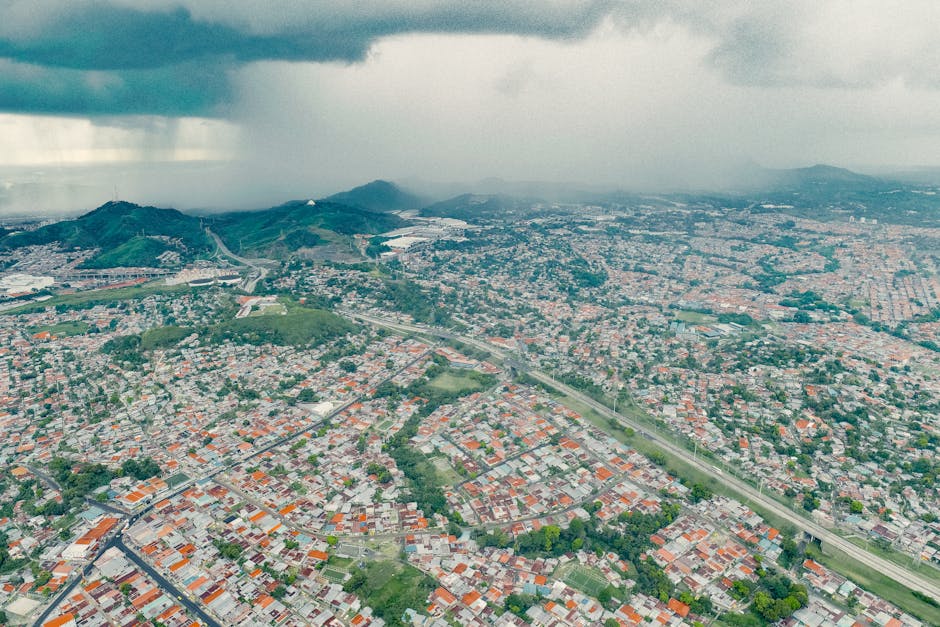
Flooding, a catastrophic natural hazard, affects countless communities globally. While precipitation is a key factor, certain geographical locations exhibit a heightened susceptibility to inundation. Understanding the intricate interplay of weather patterns, topography, and human activities is crucial in comprehending why specific areas are more prone to flooding.
A significant contributor to flood susceptibility is the inherent characteristics of a region’s topography. A landscape sculpted by steep slopes and valleys often directs rainfall runoff towards waterways with alarming speed. Mountainous regions, for example, receive concentrated rainfall that rapidly drains into rivers and streams. The lack of permeable soil and vegetation in these areas exacerbates the issue. Rapid runoff overwhelms drainage systems, leading to flash floods that can be devastating, often with minimal warning. Conversely, flat plains, while potentially receiving less intense rainfall, may struggle to channel water away efficiently due to their low relief. Consequently, prolonged periods of heavy precipitation can cause widespread flooding in these regions.
Rainfall intensity plays a pivotal role in determining flood risk. Regions experiencing intense, short-duration downpours are particularly vulnerable. These storms release vast amounts of water in a short timeframe, leaving drainage systems struggling to cope. This phenomenon is frequently observed in areas with a history of severe thunderstorms or monsoonal rains. Furthermore, the antecedent moisture conditions, the amount of water already present in the soil before a storm, greatly influence flood risk. Saturated soil, a result of prior rainfall or irrigation, reduces the ground’s ability to absorb additional water, increasing the likelihood of runoff and flooding. Thus, even moderate precipitation can trigger significant flooding in these already saturated environments.
The delicate balance of climate patterns further dictates flood susceptibility. Regions with a high frequency of tropical cyclones or hurricanes are inevitably subjected to extreme precipitation events, leading to significant coastal flooding. These storms, often accompanied by torrential downpours and storm surges, can inundate coastal communities and infrastructure. Likewise, regions prone to prolonged periods of heavy rainfall, such as those located in the path of major weather systems, are highly susceptible to riverine flooding. The seasonal nature of these intense rainfall events contributes to the predictability of flood risks in these areas.
Human activities significantly exacerbate flood hazards in many locations. Urbanization, the rapid expansion of cities, plays a detrimental role. Asphalt and concrete surfaces dramatically reduce the ground’s ability to absorb rainfall. This increased runoff overwhelms drainage systems, leading to localized flooding during heavy precipitation. Moreover, the removal of natural vegetation, including wetlands and forests, further contributes to the problem. These natural filters and absorbers play a critical role in slowing water runoff and preventing soil erosion, effectively reducing flood risk. Furthermore, the alteration of river channels and floodplains through dam construction or channel straightening can alter natural water flow dynamics, potentially increasing flooding downstream.
Groundwater conditions also play an important role in determining flood potential. In areas with high groundwater tables, water is closer to the surface, making the ground less capable of absorbing additional rainfall. This can lead to localized flooding and waterlogging, especially during heavy precipitation events. Conversely, areas with low groundwater tables are generally more resilient to flooding during these events due to better water absorption capacity.
Beyond the geographical and climatic factors, the efficacy of flood preparedness and response systems significantly shapes vulnerability. Regions with robust early warning systems, well-maintained drainage infrastructure, and comprehensive flood mitigation strategies are less likely to experience severe consequences during flood events. Conversely, areas lacking these crucial components may face a magnified impact. This includes consideration for the accessibility of critical services during or after a flood, such as emergency services and evacuation measures.
In conclusion, a multi-faceted understanding of regional geography, climate, and human activity is vital for comprehending flood susceptibility. A complex interaction between precipitation intensity, topography, antecedent moisture, and human-induced alterations ultimately shapes flood risk. Through careful analysis of these factors, policymakers and communities can develop proactive measures to mitigate flood damages and build resilience to these natural hazards. By incorporating ecological considerations, engineering advancements, and social awareness, communities can work towards a more sustainable approach to flooding, ensuring safety and well-being for generations to come.
