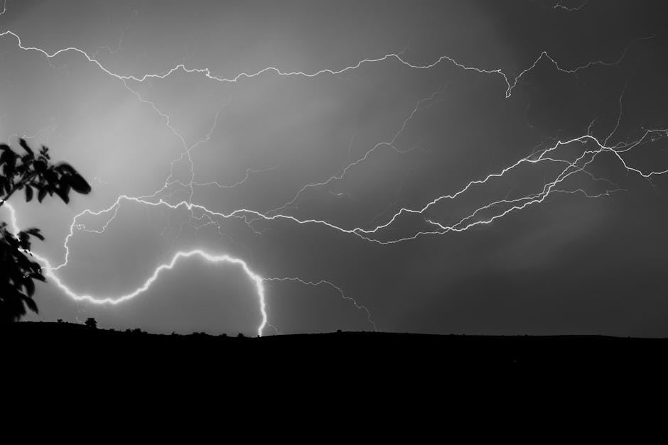
Understanding when and where the most intense weather events occur is crucial for both disaster preparedness and scientific study. This temporal and geographical variability is intricately linked to atmospheric conditions and the interplay of various weather systems. Examining these patterns reveals valuable insights into the underlying mechanisms driving storm intensity.
Global Storm Belts and Seasonal Influences
A significant factor in the timing of severe storms is the Earth’s uneven heating and the resulting atmospheric circulation patterns. Tropical regions, characterized by consistent solar radiation, generate substantial atmospheric energy, often fueling powerful hurricanes, typhoons, and cyclones. These powerful storms, driven by latent heat released from condensation, typically exhibit peak intensity during specific seasons. For example, the North Atlantic hurricane season, a period of heightened risk, often extends from June through November. This is primarily due to the confluence of warm ocean temperatures, rising air, and suitable atmospheric instability. Likewise, the monsoon seasons, characterized by pronounced shifts in atmospheric pressure and moisture, are associated with increased rainfall intensity and the potential for devastating flooding.
The intricate dance between air masses and jet streams also dictates when and where fierce storms, like supercells and squall lines, occur. These are often associated with severe thunderstorms and hail. The location and strength of these influential atmospheric rivers determine the regions most prone to extreme convective events, impacting regions across mid-latitudes.
Beyond the tropical and monsoon zones, mid-latitude regions experience their own storm patterns. These are often influenced by the interaction between warm and cold air masses, leading to the development of powerful extratropical cyclones. The timing of these events is more varied and influenced by the specific seasonal shifts and patterns of atmospheric pressure.
A closer look reveals distinct peak periods for different types of storms. For instance, while the summer months frequently see the highest incidence of severe thunderstorms and hailstorms, these storms might occur more infrequently, yet with greater intensity, in late spring or early fall.
Exploring the Complexity of Climate Change
Climate change introduces a layer of complexity to these established patterns. Warmer global temperatures are leading to several crucial alterations. Rising sea surface temperatures in tropical regions are frequently associated with more intense hurricanes. Furthermore, changes in atmospheric moisture content can lead to increased rainfall intensity in some areas, amplifying the risk of floods and landslides. While not entirely predictable, there’s emerging evidence suggesting a shift in the timing of certain storm types. This is something that researchers are actively investigating and studying.
The intricate interplay of weather patterns, atmospheric dynamics, and climate change necessitates a multifaceted approach to understanding and forecasting peak storm seasons.
Understanding Specific Storm Types
Examining specific storm types offers insights into their unique seasonal patterns. For example, the timing of tornado outbreaks frequently coincides with periods of atmospheric instability and temperature gradients. Similarly, the intensity and prevalence of blizzards often correlate with the seasonal migration of cold air masses. Understanding these specific factors is crucial for accurate forecasting and mitigation strategies.
Regional Variability
Importantly, peak storm seasons are not uniform across the globe. The timing and intensity of storms are influenced by a region’s unique geographical characteristics, including its topography, proximity to water bodies, and prevailing winds. This regional variability necessitates tailored approaches to disaster preparedness and early warning systems.
The Role of Forecasting and Preparedness
Given the crucial knowledge of peak storm seasons, efficient forecasting and preparedness measures are vital. Accurate weather prediction models, often integrated with satellite data and ground observations, can be instrumental in issuing timely warnings and enabling timely evacuations. Community education and infrastructure development also play a critical role.
A multifaceted approach to forecasting and preparedness can reduce vulnerability and the impact of severe weather events. This includes investment in robust early warning systems, community resilience programs, and the strengthening of critical infrastructure.
Conclusion
The arrival of intense storms is not a random occurrence. Understanding the intricate interplay of atmospheric dynamics, global climate patterns, and seasonal variations is crucial to accurately predicting and preparing for these events. Climate change further complicates this picture, necessitating continued research and adaptation. By meticulously analyzing historical data, studying current atmospheric conditions, and continually refining forecasting models, we can develop more effective strategies to mitigate the devastating effects of peak storm seasons. This knowledge serves not only as an important predictive tool, but also provides an important basis for creating better and more resilient communities.
